Integration examples
How is our data used?
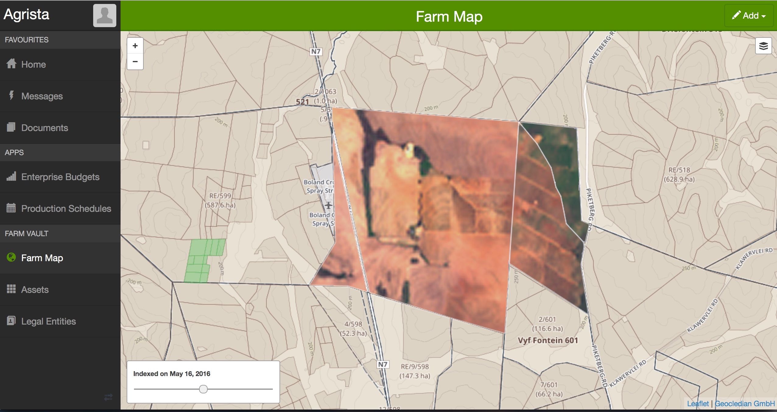
Farm management systems
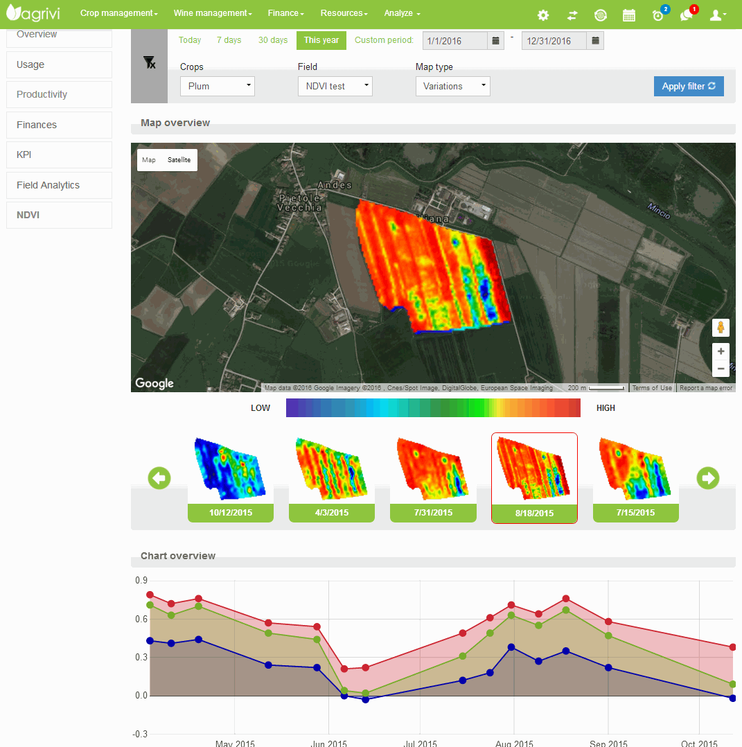
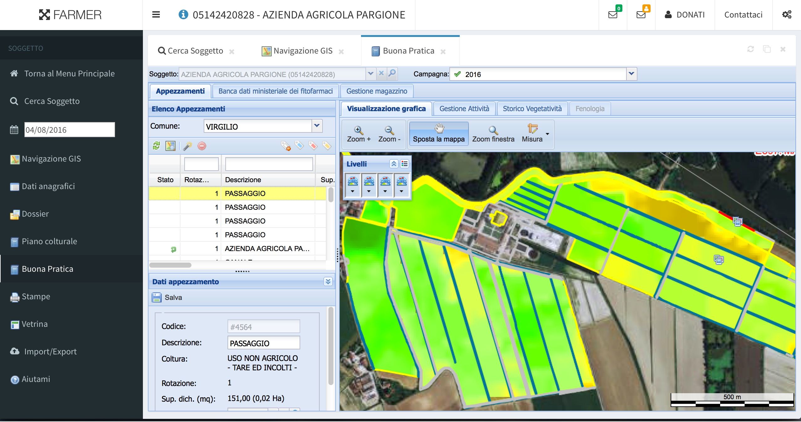
In Farm management systems up-to-date satellite information can help to monitor the vegetation development or compare seasons and fields.
Crop health problems due to pests, diseases or missing nutrients can be detected earlier. Actions can be planned and effetcs monitored.
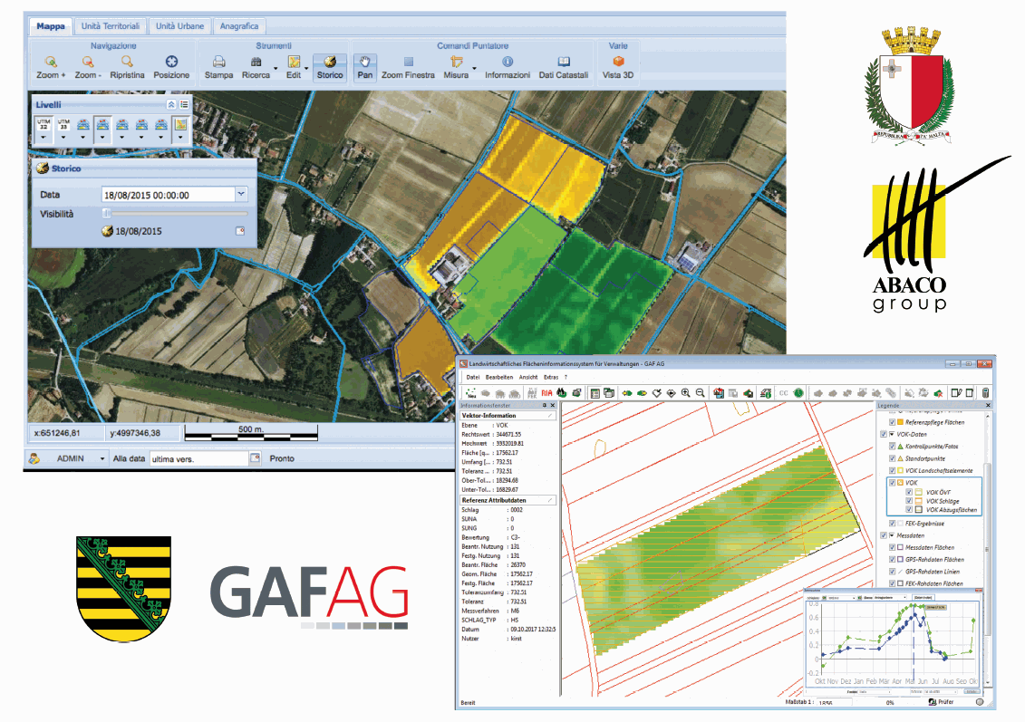
Integrated Administration and Control Systems (IACS)
Our service is operationally integrated in governmental IAC Systems (e.g. in Malta and Germany) for subsidies management.
Information systems
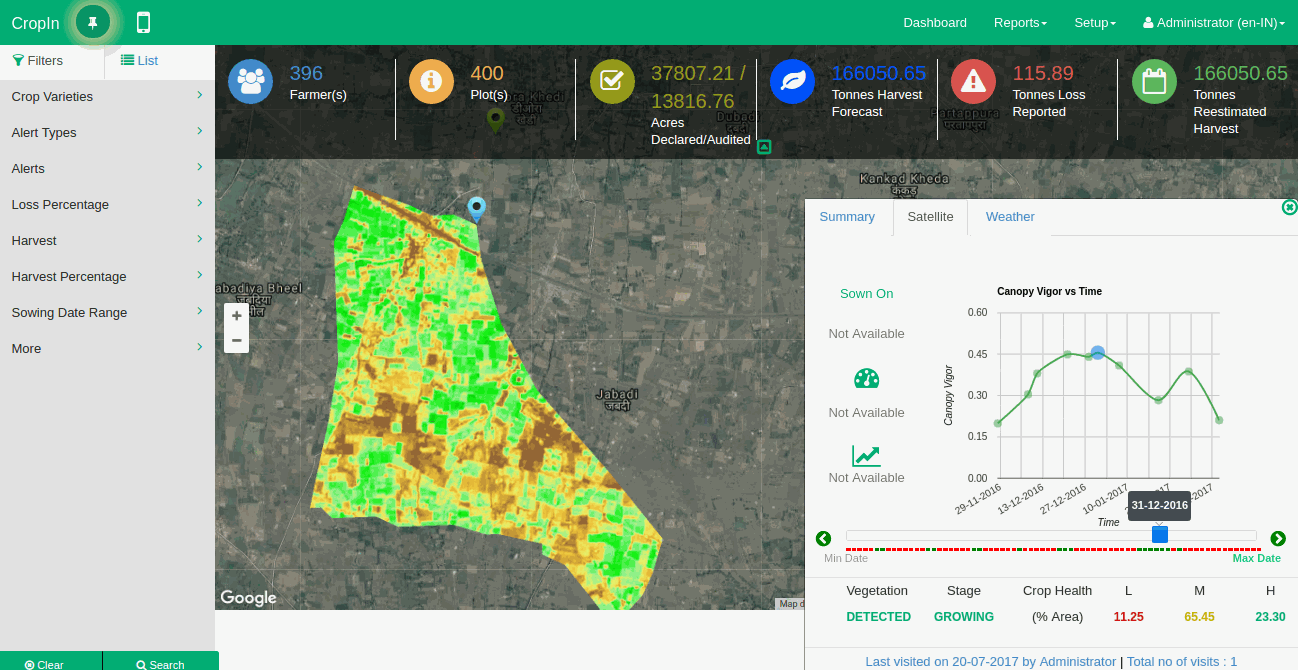
In different types of information systems satellite images can be used for production monitoring to get an overview about agricultural activities in a region or derive statistical information.
The data can also be used to estimate for example predicted harvest, harvest loss or the area of active farmland.
Agricultural advisory systems
In agricultural advisory systems the management practices on farms can be analysed and improvements can be planned and monitored.
Finance & insurance applications
In the finance and insurance sector up-to-date satellite informations are a valuable source of independent monitoring data. They can be used to document activities and evaluate cropland.
Mobile apps
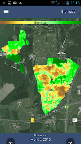
Mobile apps can be used for crop scouting or crop health analysis in the field.
Due to our efficient system the data amounts transferred to a mobile device are small and even in areas with limited bandwith are still performing well.

